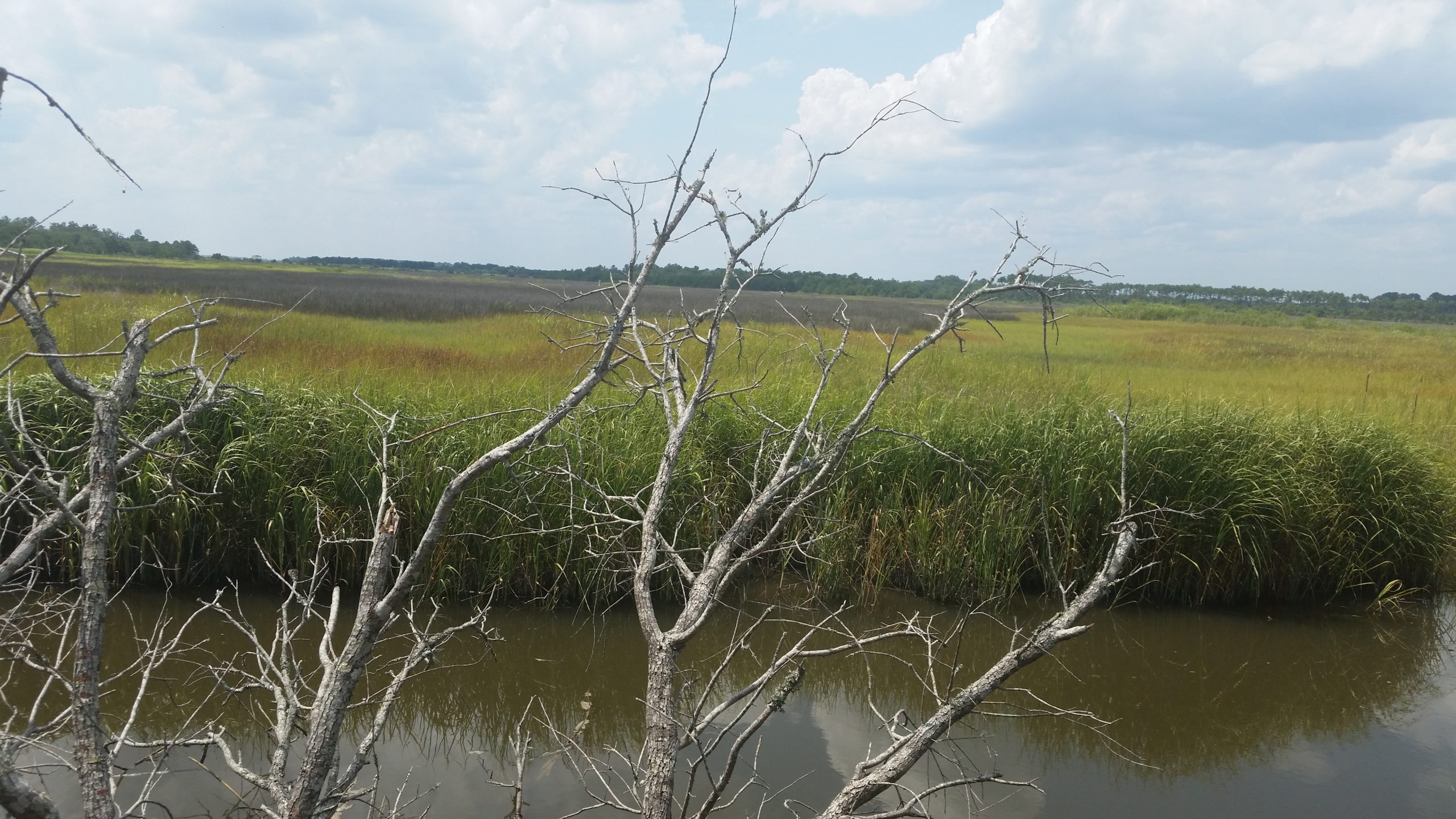
This bank is located immediately north of the intersection of NC Highway 210 and Shaw Highway (SR 1522) approximately 12 miles north of Wilmington, NC, and is situated between Northeast Cape Fear River and the state-protected Holly Shelter Game lands in Pender County. It’s location provides the unique opportunity to be in close proximity to an urban center while, at the same time, being situated between two natural heritage sites (the Northeast Cape Fear River floodplain and the Holly Shelter game lands) that are considered nationally significant (according to the North Carolina Natural Heritage program.)
The umbrella mitigation banking instrument (UMBI) includes provision for the incorporation of additional mitigation sites to complement the existing Holly Shelter Bay tract.
The bank is located in the Northeast Cape Fear River basin (hydrologic unit code 03030007) and services more than 1,740 square miles of land of the outer coaster plain in southeastern North Carolina. Its service area boundaries include the northern limits of the city of Wilmington, northern New Hanover County, Pender County, Duplin County and western Onslow County.
Inquire About Available Credits
Environmental Consultants
3805 Wrightsville Avenue, Suite 15
Wilmington, NC 28403