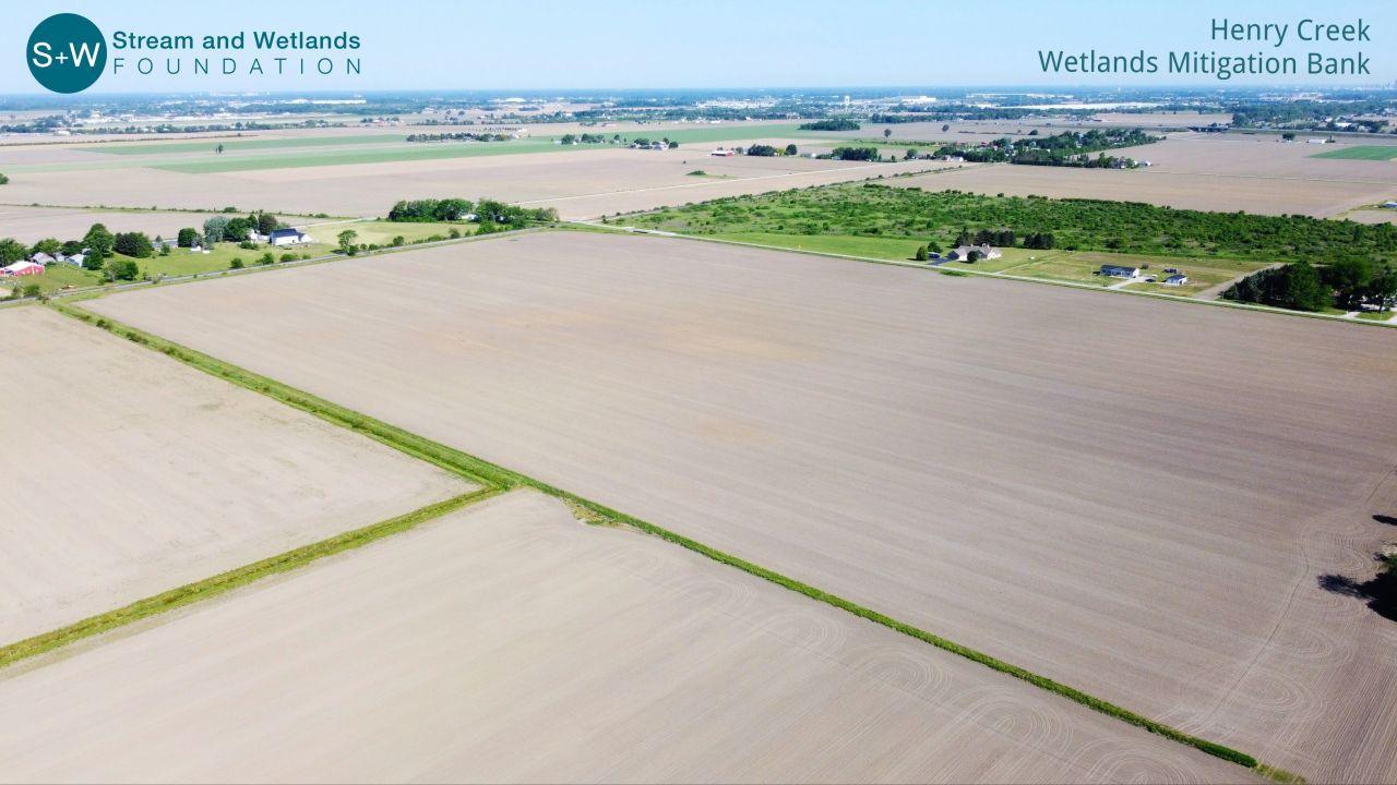
The 151.7-acre project is located east of E Broadway Road between Libbey Road and Genoa Road in Lake
Township, Wood County, Ohio.
The Cedar-Portage & Lower Maumee Mitigation Banking Instrument (UMBI) will consist of a portfolio of mitigation bank sites and will provide compensatory mitigation to offset unavoidable impacts.
Service Area: Ottawa-Stony River (HUC 04100001), Raisin Creek (HUC 04100002), Lower Maumee River (HUC 04100009), and Cedar-Portage River (HUC 04100010).
HENRY CREEK WETLANDS MITIGATION BANK was established and operated under the S+W Cedar-Portage & Lower Maumee Umbrella Mitigation Banking Instrument. The project will provide compensatory mitigation to offset unavoidable impacts separately authorized by Clean Water Act Sections 404 and 401 permits, Section 10 of the Rivers and Harbors Act, and/or isolated wetlands authorized by Ohio Revised Code (ORC) Section 6111.
Wetland Credits currently available at Henry Creek Mitigation Bank: 30.1
“Stream + Wetlands Foundation is an invaluable resource for the HBA of Greater Cleveland and our members. We have been fortunate to have S+W President Vince Messerly speak at multiple chapter events. Most recently, Vince conducted a wetlands seminar for the developers’ council where he spoke about wetland mitigation strategies. In addition to the presentation, he conducted a field visit which was very informative and well-received by the attendees. We know that if we, or one of our members, have a question or need guidance, Vince and his team are only a phone call away!”
Brenda Callaghan
Executive Director
Home Builders Association of Greater Cleveland