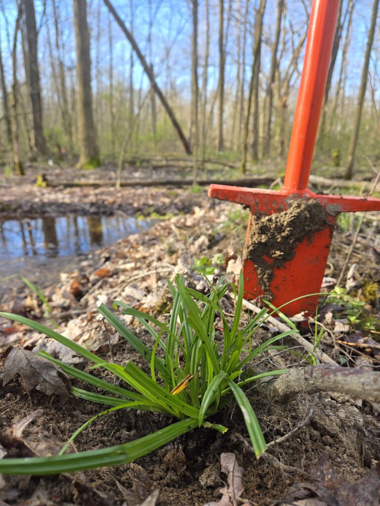
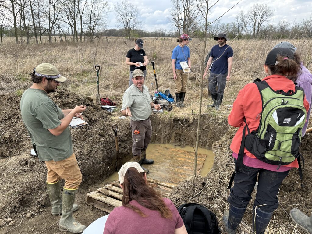
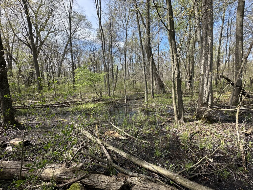
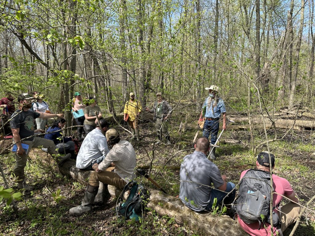
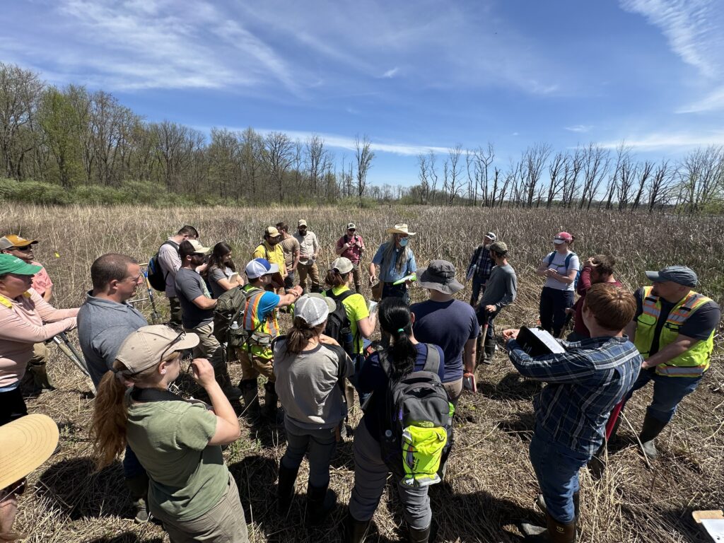
Overview: Stream + Wetlands Foundation (S+W) offers paid summer internships to candidates interested in ecological restoration practices. Successful candidates must enjoy being outdoors and will work alongside experienced biologists and assist with restoration site monitoring and management activities (revegetation efforts, invasive plant management, field vegetation surveys). Occasional overnight travel will be required.
Who should apply: Applicants must have completed at least 2 years of college, or equivalent experience, with an interest in stream and wetland restoration. Candidates should be capable of strenuous work including lifting, digging, and sustained walking in unpredictable and adverse weather conditions. The work meeting location is the Columbus, OH area. Start and end dates are flexible based on the candidate’s availability.
- Start Date: May or June 2025
- Length of Internship: 8-12 weeks
- Schedule: 4/10 work schedule
- Work Location: Columbus, OH area
- Application deadline: Applications accepted on a rolling basis until the position is filled
- Interviews start December 16, 2024
How to apply: Please submit a cover letter and CV/resume to sbailey@streamandwetlands.org. Applications are being accepted on a rolling basis until the position is filled. Initial application screening will be based on the candidate’s submitted documents. Final selections will be determined by an in-person/virtual interview.
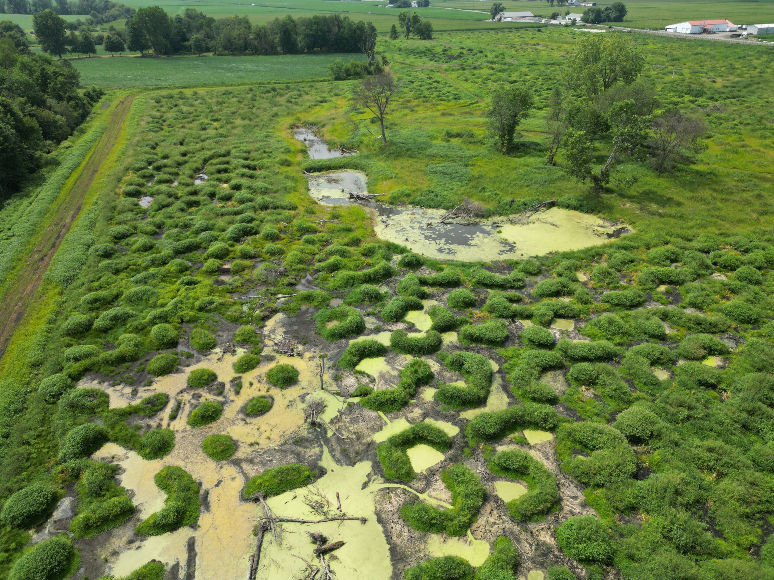
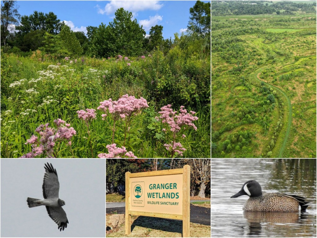
About us: S+W is a non-profit company based in Lancaster, Ohio that specializes in restoring wetlands and streams throughout Ohio. Our work also includes supporting the education, recreation, and research of the restoration of aquatic resources.
S+W is an equal opportunity employer and is committed to non-discriminatory policies. All decisions regarding recruitment, hiring, promotion and all other terms of employment will be made without regard to race, color, religion, age, gender, gender expression, sexual orientation, national origin or ancestry, marital status, status as a qualified handicapped or disabled individual, or any other impermissible factor in accordance with applicable laws.